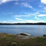
A trip to Fish Pond involves many long portages, which is probably why it’s one of the last places we’ve gotten ’round to visiting in the northern Adirondacks. You’ll spend more time with the canoe on your head than you will sitting in it. Rather than transport our gear that far into the woods, we established a base camp from which make a day-trip. All of the following took place on the last Saturday of October.
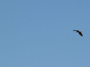
Signed the register and put in at Little Clear Pond amid the calls of a pair of loons. We were pushed up to the portage by a strong southerly. At the north end of the pond we saw a pair of bald eagles, many seagulls, and a pair of juvenile loons.
The portage from Little Clear started with a sandy beach followed by a wide and flat trail, ankle deep in birch and beech leaves.
On the Saint Regis side there is a long boardwalk or dock where I was surprised to see pollywogs and dragonflies.
The West Branch Saint Regis River to Ochre Pond being low, we took the so-called Truck Trail straight to Fish. This trail is long, wide, and flat. It’s easy to keep a good pace, apart from a single blowdown, and a beaver pond where the stream from Clamshell Pond crosses the trail. I stood at the edge of the stream wondering how I was going to wade through it with a canoe on my head, when I realized: I can just paddle across!
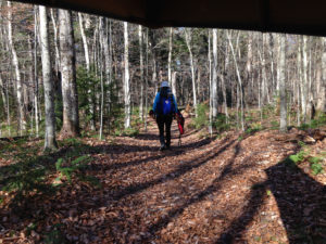
Luncheon was served at the north side Fish Pond lean-to. While there we heard more loons, and saw more eagles circling.
The return trip started at the Fish to Mud Pond carry, followed by a short paddle across Mud. Although the leaves were all on the ground at this altitude, we did enjoy some lovely golden tamaracks lining the swampy shores. Copious pitcher plants were dying down at the eastern end of Mud.
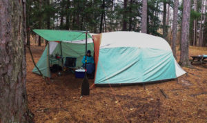
Mud to Ochre is a tough carry, starting with a steep climb up the esker and followed by much dénivèlement, mud, roots, and rocky stream crossings. My lightweight day hiking boots were adequate, but waterproof might be necessary at other times of the year. The Ochre to Regis carry is similar but not so hard. Comparing the longer, easier, “truck” portage versus the shorter, tougher, “Mud and Ochre” portages, they take about the same time.
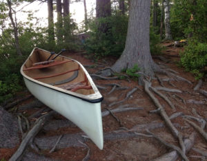
Took our time tracking back up wind along Little Clear, arriving in the dark under a half moon at 18:00 courtesy of our trusty Garmin eTrex Legend C. It was unseasonably warm, and: Don’t try this with your iPhones, kids!
We were mostly too busy to get out the camera but the next morning I was photographed erratically at the lower end of Upper Saranac.
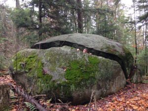
The entire 20-kilometre round trip took six hours (time moving, according to Garmin), during which we did not see or hear a single biped.
